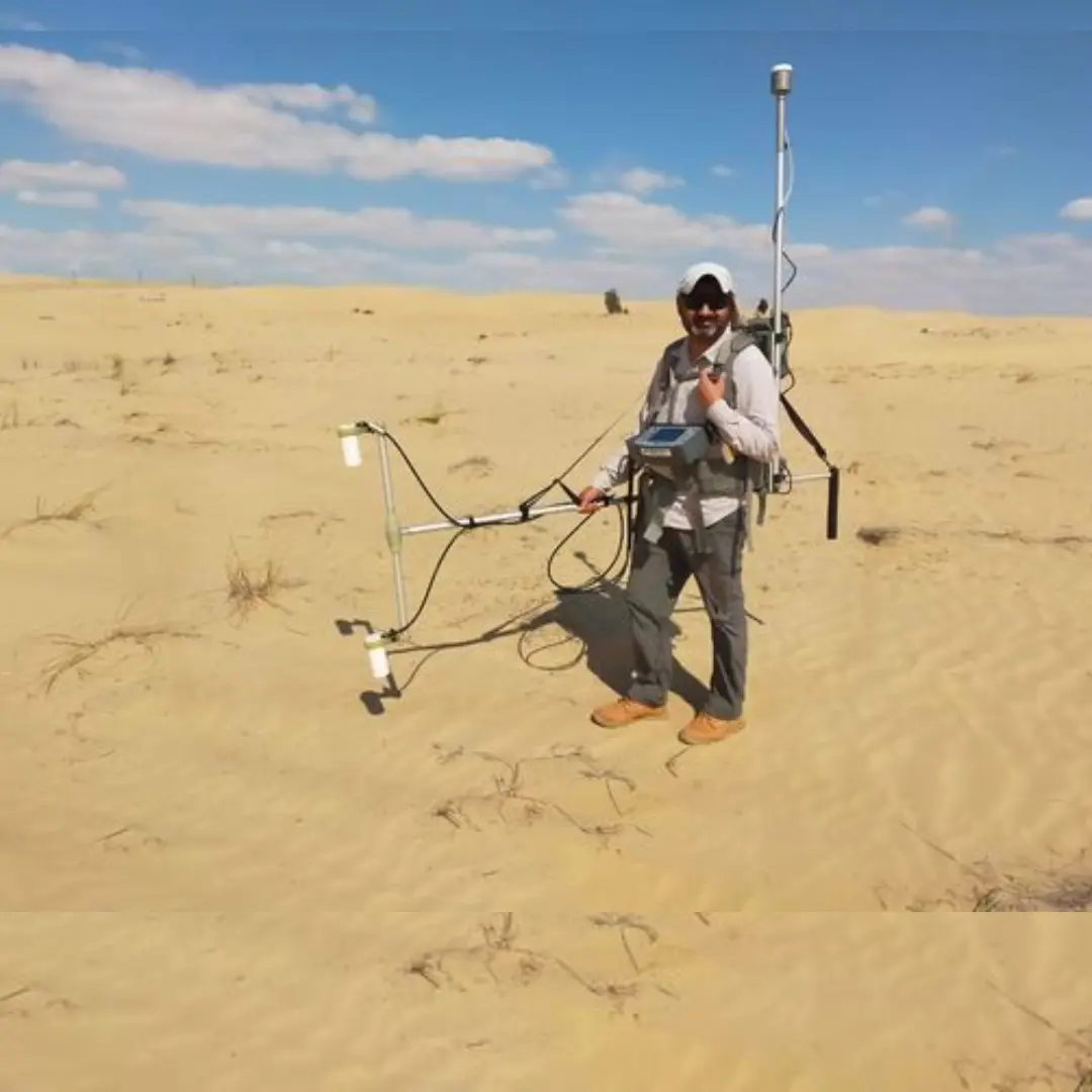
In a groundbreaking fusion of technology and history, Dubai is set to revolutionize archaeological exploration with the aid of remote-sensing satellites. These high-tech eyes in the sky will provide detailed aerial images that promise to unravel the mysteries hidden beneath the sands of time, enhancing the exploration and understanding of Dubai’s rich historical sites and landscapes.
Imagine soaring high above the desert plains of Dubai, where satellite sensors capture intricate details that elude the naked eye. These images will not only map out ancient settlements and archaeological treasures but also offer unprecedented insights into how civilizations once thrived in this region. From lost cities to ancient trade routes, each pixelated snapshot from space holds the potential to rewrite chapters of history, illuminating Dubai’s past like never before.
The integration of remote-sensing satellites into archaeological digs represents a quantum leap in methodology. By providing comprehensive aerial coverage, researchers can pinpoint potential excavation sites with pinpoint accuracy, minimizing guesswork and maximizing discovery potential. This technological synergy allows archaeologists to peel back layers of history with precision, uncovering artifacts and structures that have long been buried beneath the shifting sands.
Dubai’s initiative underscores its commitment to preserving and understanding its cultural heritage in the face of rapid development. By leveraging satellite technology, the emirate not only preserves its past but also lays the groundwork for future generations to appreciate and learn from the treasures of antiquity. This innovative approach not only positions Dubai at the forefront of archaeological research but also reaffirms its status as a global hub where tradition and innovation converge to illuminate the paths of human history.

