
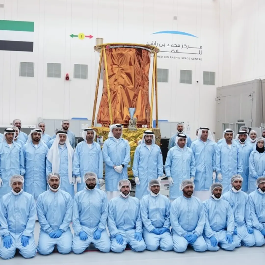
As the countdown begins for the October 2024 launch of the MBZ-SAT with SpaceX, excitement is building for what’s being hailed as one of the world’s most advanced imaging satellites. Developed by the UAE’s Mohammed Bin Rashid Space Centre (MBRSC), this high-tech marvel is set to revolutionize satellite imaging and global data solutions. From triple data transfer speeds to ultra-high-resolution imaging, the MBZ-SAT promises capabilities that will impact industries and governments worldwide.
One of the standout features of the MBZ-SAT is its unprecedented imaging accuracy. Equipped with cutting-edge technology, the satellite will capture high-resolution images with clarity that surpasses most commercial satellites in operation today. These images will support critical sectors such as urban planning, where accurate data can drive smarter, more efficient city designs. Whether mapping infrastructure, tracking real estate developments, or monitoring transportation networks, the MBZ-SAT will be an invaluable tool for shaping the cities of tomorrow.
But the satellite’s impact goes far beyond urban landscapes. Environmental monitoring is another key area where the MBZ-SAT will shine. From tracking deforestation and desertification to assessing the health of oceans and coastlines, the satellite’s high-resolution data will empower researchers and governments to tackle some of the world’s most pressing environmental challenges. The insights generated will help drive sustainability initiatives and enable more informed decision-making in climate-related policies.
Disaster response is another area set to benefit greatly. With its advanced imaging capabilities and rapid data transmission, MBZ-SAT will be able to provide near-real-time information in the aftermath of natural disasters like floods, earthquakes, or wildfires. This data can be the difference between life and death, allowing rescue teams to quickly assess damage, plan relief efforts, and allocate resources more effectively.
Moreover, the satellite’s data will play a crucial role in agricultural development. By monitoring crop health, soil conditions, and irrigation systems, MBZ-SAT will support the agricultural sector with insights that can lead to better yields and more sustainable farming practices. The data can help mitigate risks, optimize planting strategies, and ensure food security, especially in regions prone to drought or other environmental stressors.
With its triple data transfer speeds, the MBZ-SAT will not only deliver faster results but also ensure that the data reaches decision-makers with minimal delay. This enhanced speed is vital in scenarios where timely information can significantly impact outcomes, from emergency management to strategic planning.
As the MBZ-SAT prepares for its journey aboard SpaceX, it’s clear that this satellite isn’t just a technical achievement—it’s a game-changer for industries and communities across the globe. With the UAE at the forefront of space technology, the world is eagerly watching as this mission promises to set new benchmarks in satellite imaging and global solutions.